Site Planning
Services
From zoning and access planning to land drainage, utility integration, and roadway arrangement — complete site planning for residential and commercial development across the California Central Coast.
Homepage Short Form
Site Planning Services for Residential & Commercial Development Across the California Central Coast
Most project problems are site planning problems that weren't caught early enough. A building pad positioned without accounting for drainage patterns. A roadway alignment that puts a culvert in the wrong location. Underground utilities that conflict with each other or with the proposed structure. These aren't abstract risks — they're the kinds of issues we encounter regularly when we're brought in to excavate or grade a site where the planning phase was rushed or skipped entirely.
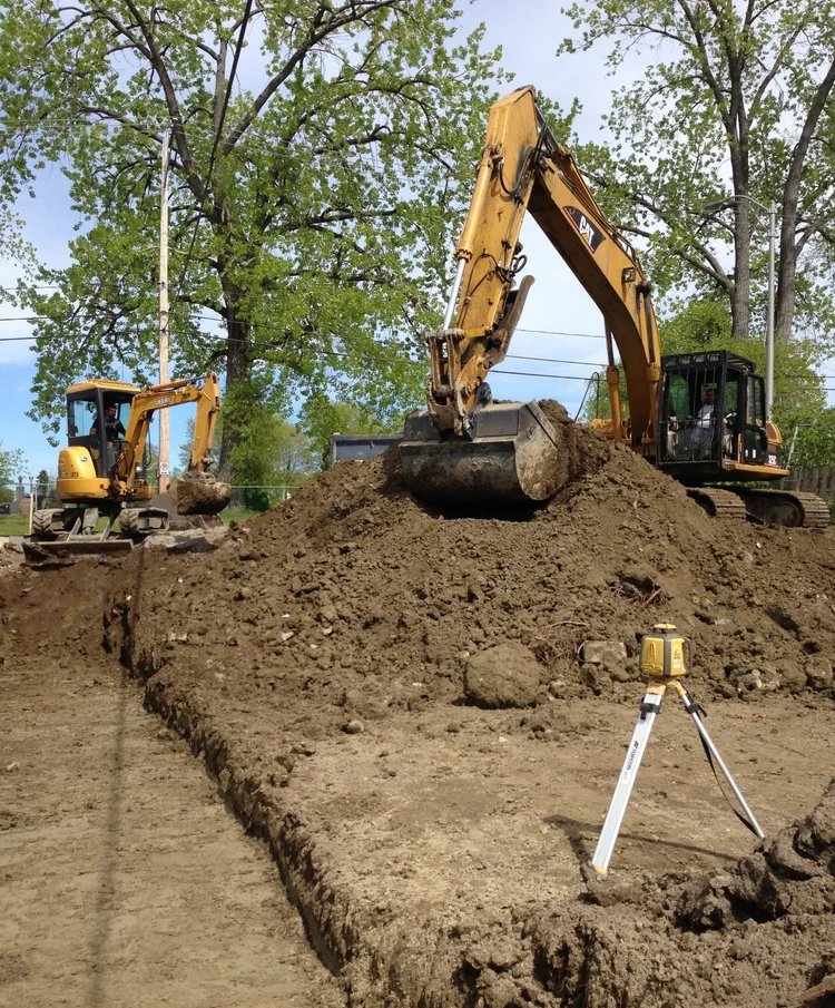
DW Excavation has been providing site planning and preparation services across Sonoma County, Monterey County, and the broader California Central Coast since 2013. Our approach integrates topographical analysis, drainage planning, utility coordination, and regulatory compliance into a coherent plan before any ground is broken. That preparation is what allows the excavation, grading, and utility work to proceed efficiently and without expensive course corrections mid-project.
Our Site Planning Services Include
- Land Organization & Zoning Analysis — Assessment of parcel boundaries, zoning classifications, setback requirements, and allowable uses. We evaluate what the site can support and how it needs to be configured to meet local land use regulations in Sonoma County, Monterey County, and throughout the California Central Coast.
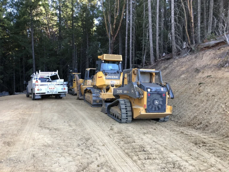
- Access Planning — Determining optimal access routes, driveway placement, sight-line clearances, and connection points to public roads. Access planning also considers emergency vehicle access requirements and, for larger developments, traffic flow and circulation.
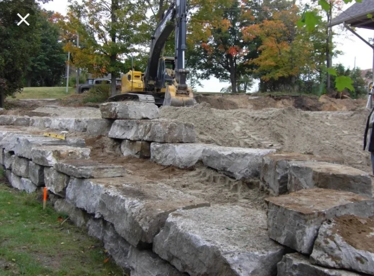
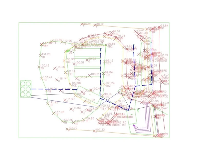
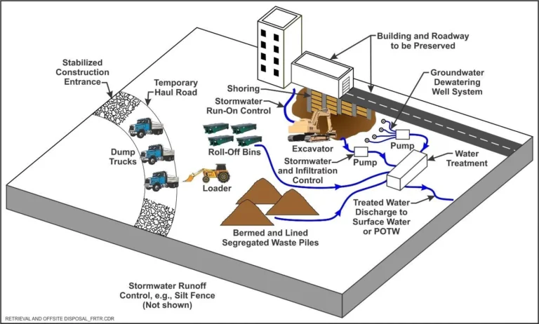
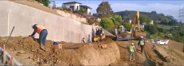
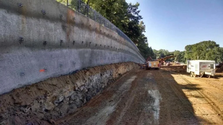
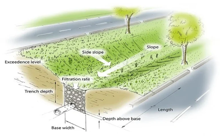
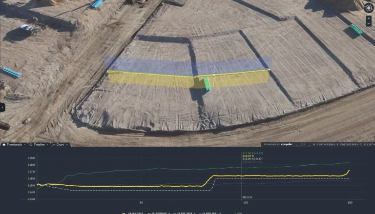
- Land Drainage & Leveling — Analysis of existing drainage patterns and design of grading to direct water away from structures, prevent erosion, and satisfy any local drainage requirements. This includes identifying drainage swales, retention areas, and the grading needed to establish a stable, level building pad.
- Underground Utility Integration — Planning the routing and depth of water, sewer, electrical, gas, and telecommunications infrastructure so they can be installed without conflicts and in compliance with applicable codes. Coordinating utility placement during the planning phase avoids costly relocations later.
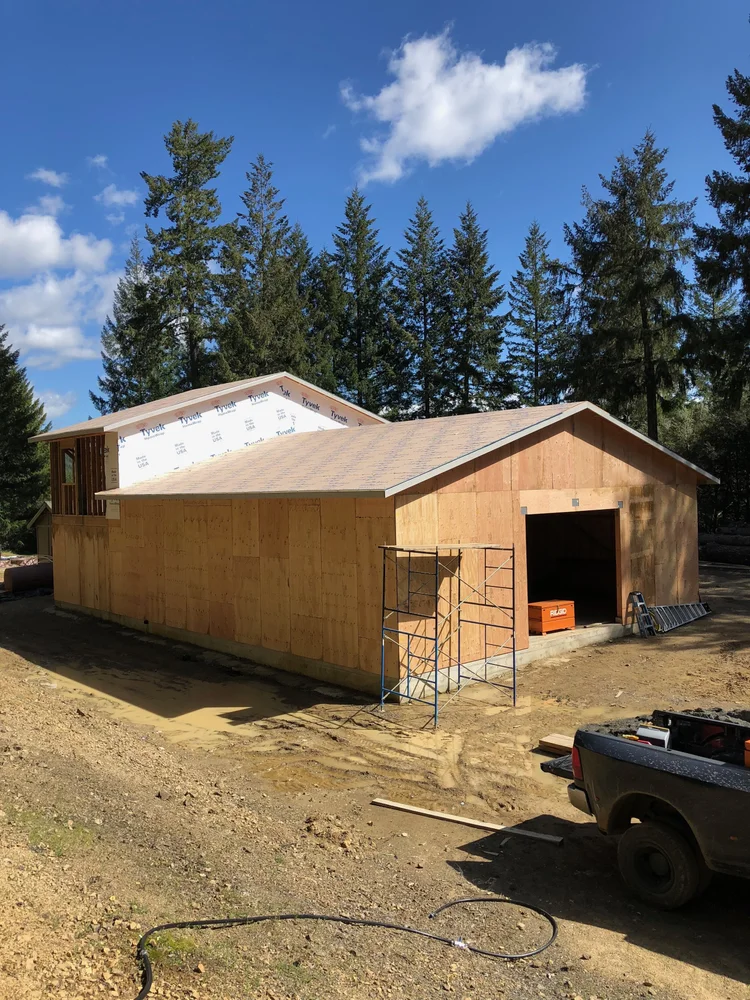
- Building & Roadway Arrangement — Positioning structures and internal roadways to optimize site use, meet setback and height requirements, respect topographic constraints, and achieve the project's functional and aesthetic goals.
- Landscape & Natural Elements Planning — Integrating topography, existing vegetation, water features, and new plantings into the site layout. On the California Central Coast, this often involves working with oak woodlands, riparian corridors, or coastal vegetation that may have regulatory protection.
- Permit Coordination Support — Assistance navigating the permitting requirements for grading, drainage, and land development through Sonoma County, Monterey County, and other applicable jurisdictions. We understand what the county agencies want to see and can help prepare the documentation to get permits issued without unnecessary delays.
Why Site Planning Determines Project Outcomes
The sequence matters. Site planning happens before permits are pulled, before equipment is mobilized, and before any physical work begins. Decisions made during site planning — or left unmade — directly determine how smoothly the construction phase goes and what the final product looks like. A well-planned site produces predictable results. A poorly planned site produces change orders, delays, regulatory problems, and finished work that doesn't perform the way it should.
DW Excavation brings field experience to the planning phase. Because we also do the excavation, grading, utility trenching, and drainage work that follows, our site planning is grounded in the practical realities of actually building in the conditions we encounter across Sonoma County, Monterey County, and the California Central Coast. We've worked enough sites in this region to know where the problems typically come from — and we plan to avoid them from the start.
Site Planning That Knows the Territory
Site planning on the California Central Coast requires familiarity with the specific physical and regulatory conditions of this region. The terrain, soils, hydrology, and land use regulations vary significantly between Sonoma County in the north and Monterey County in the south — and they both differ from the rest of California in ways that matter when you're planning a development project. Generic site planning approaches developed for flat suburban lots don't translate well to hillside wine country parcels, coastal agricultural land, or the varied terrain found throughout the Central Coast.
We've been working across this region since 2013, and that experience is baked into how we approach site planning. We know which questions to ask, which site conditions to look for, and which regulatory hurdles tend to slow projects down — so we can address them in the planning phase rather than during construction.
Northern Region — Sonoma County & Surrounding Areas
Sonoma County presents distinctive site planning challenges. Hillside parcels in the wine country require careful drainage planning to prevent erosion and manage stormwater runoff — a priority for the county's planning and building departments. Oak woodland and riparian vegetation on many parcels may require biological assessment before clearing is permitted. The Sonoma County Permit and Resource Management Department (PRMD) has specific requirements for grading permits, drainage plans, and environmental review that affect nearly every development project. We understand how to work within that framework efficiently, whether the project is in the unincorporated county or within one of its incorporated cities.
- Hillside parcels — drainage and erosion control planning essential
- Oak woodland and riparian buffers — biological assessment requirements
- Sonoma County PRMD — grading permits and environmental review coordination
- Wine country agricultural parcels — large-scale site organization and access
Southern Region — Monterey County & Central Coast
Monterey County's geography ranges from the flat, agricultural Salinas Valley to the dramatic terrain of the Santa Lucia Range and the Carmel Valley. Each of these settings presents different site planning requirements. Agricultural properties in the Salinas Valley typically involve large-scale site organization — access routes, irrigation infrastructure, building placement, and drainage for large flat areas. Hillside and coastal properties involve more complex drainage and grading plans, often with additional scrutiny from Monterey County's Resource Management Agency regarding sensitive habitat, visual corridors, or proximity to coastal zone regulations. We work throughout Monterey County and the surrounding Central Coast jurisdictions.
- Salinas Valley agricultural land — large-scale site organization and drainage
- Carmel Valley and hillside parcels — complex grading and drainage planning
- Coastal Zone — additional regulatory review for properties near the coast
- Monterey County RMA — permit coordination and environmental compliance
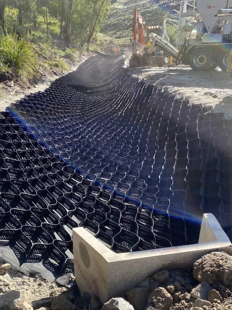
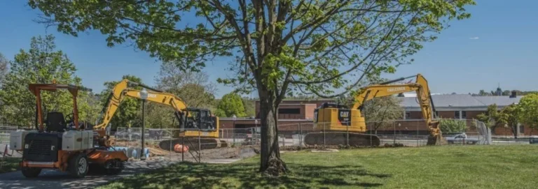
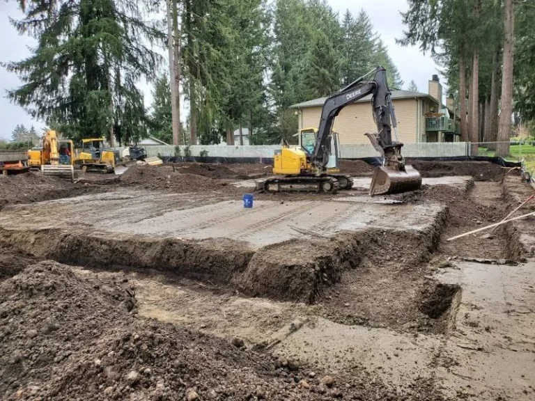
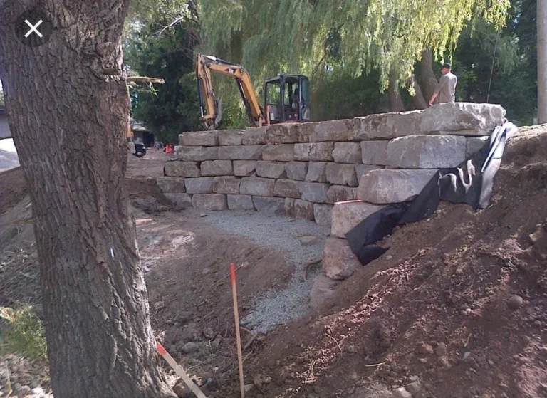
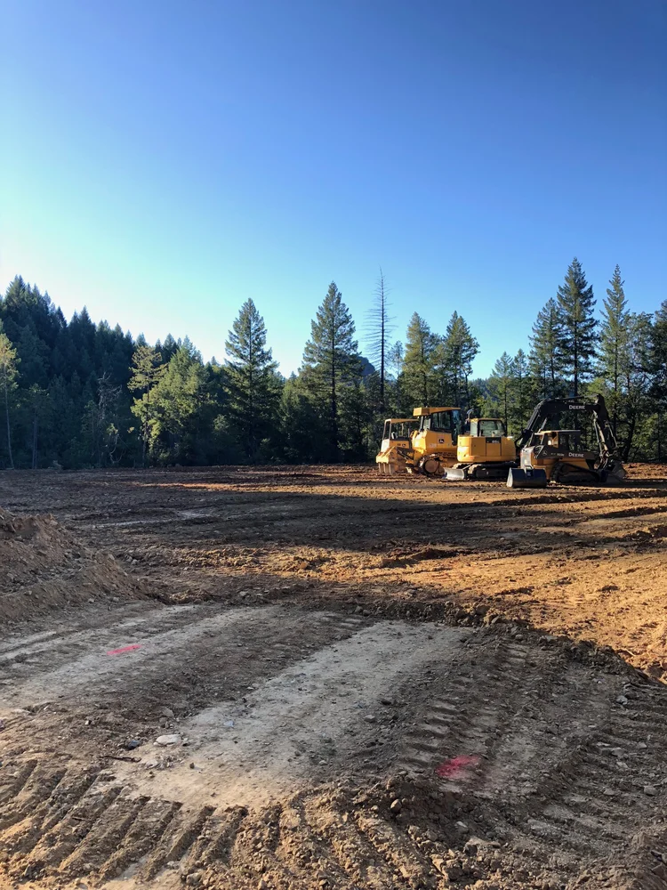
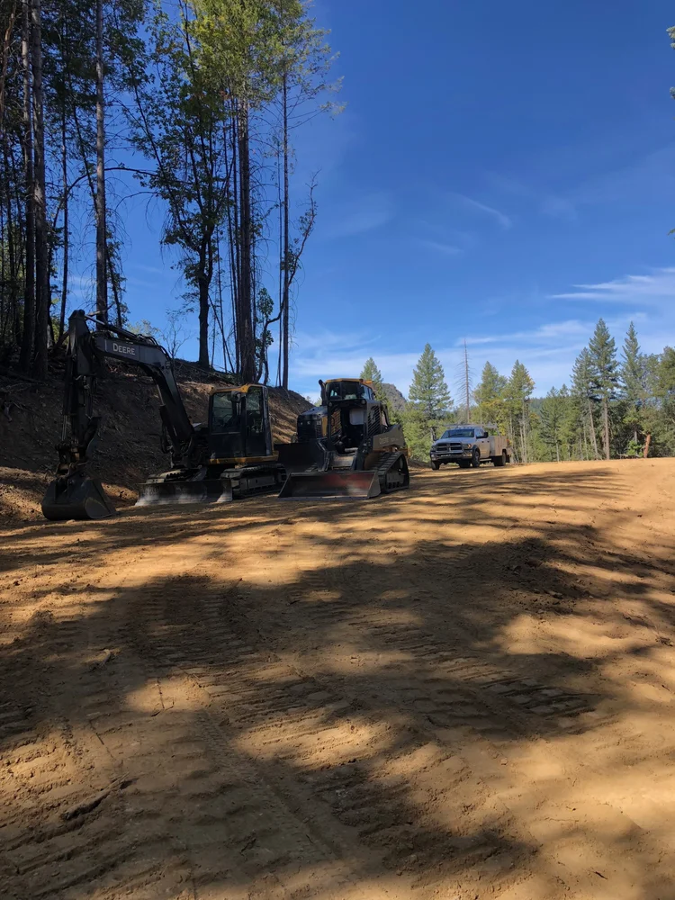
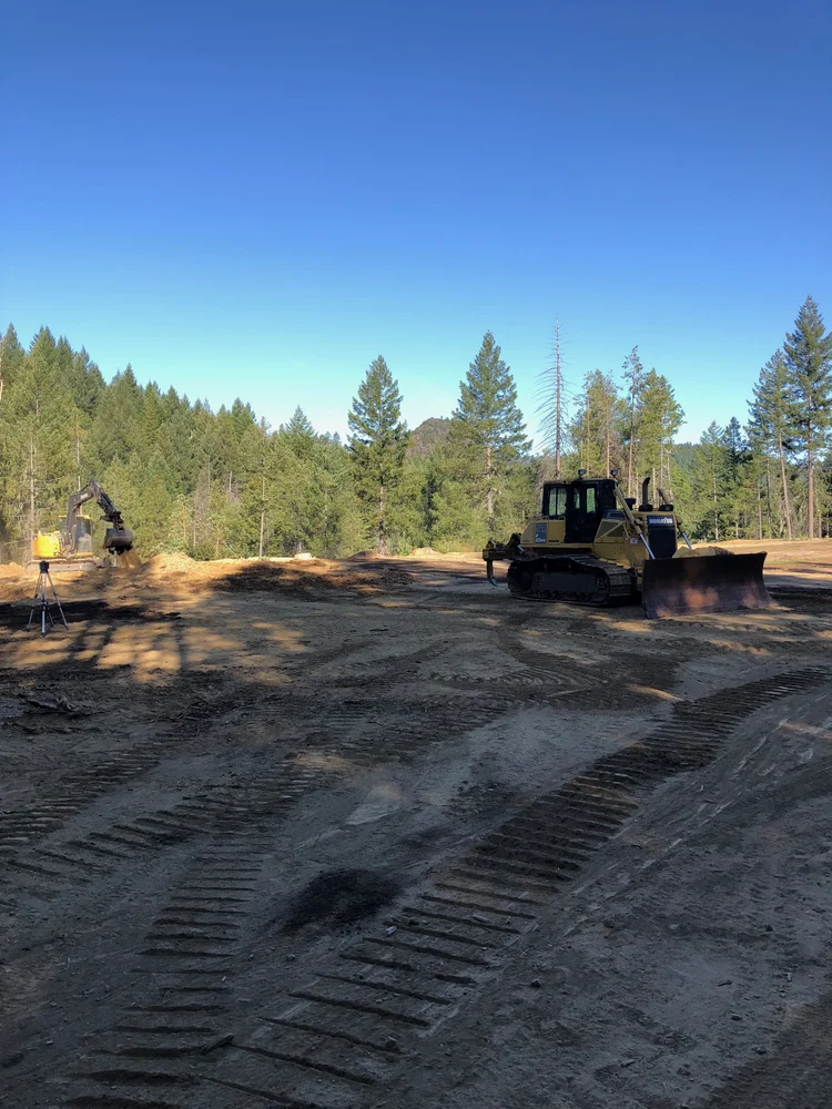
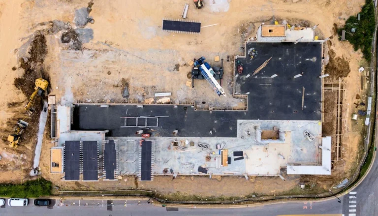
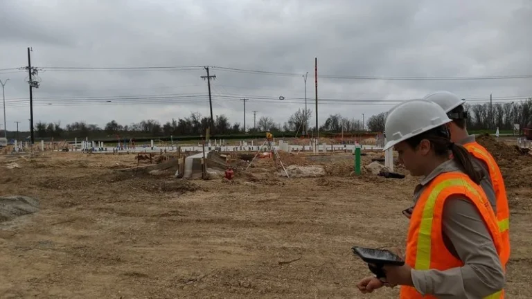
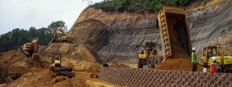
Site Planning Project Work

Common Questions
Site planning questions we hear regularly from property owners and developers across Sonoma County, Monterey County, and the California Central Coast.
Call Us DirectlyWhat's the difference between site planning and a civil engineering plan? +
A civil engineer produces stamped technical drawings — grading plans, drainage calculations, improvement plans — that are submitted to the county or city for permit approval. Site planning, as we approach it, is the broader process of analyzing the parcel, understanding the constraints (topography, drainage, access, vegetation, zoning), and determining how the project should be organized before those technical documents are produced. We work upstream of the civil engineer, helping property owners and developers understand what the site can support, where the challenges are, and how to approach the project — so that when it's time to engage an engineer or pull permits, the direction is already clear. We also work alongside civil engineers and can help coordinate the excavation, grading, and utility work that follows their plans.
When should I involve a site planning contractor — before or after I buy the land? +
Ideally, before you close on the purchase — or at least before you commit to a specific development plan. A site assessment before purchase can reveal conditions that significantly affect project costs or feasibility: unstable soils, drainage problems, access challenges, vegetation or biological constraints, or zoning issues that limit what can be built. Any of these can dramatically change the economics of a project. If you're already under contract or have already purchased the land, the next best time is before you engage an architect or engineer — so the site constraints are understood before anyone starts designing. Call us at (707) 601-9091 to discuss where you are in the process.
What permits are typically required for land development in Sonoma or Monterey County? +
The permits required depend on the scope of work, the zoning of the parcel, and its location. Most grading projects require a grading permit through the county building or public works department. Projects that move more than a certain volume of soil (thresholds vary by county) trigger additional review. Properties in sensitive areas — near riparian corridors, on steep slopes, within the Coastal Zone, or containing protected vegetation — may require biological or environmental review. Septic system installation requires a separate environmental health permit. Sonoma County permits run through the Permit and Resource Management Department (PRMD); Monterey County permits run through the Resource Management Agency (RMA). We've navigated both permit offices many times and can help you understand what your specific project will require.
How does topography affect site planning on the Central Coast? +
Topography affects almost every aspect of site planning. It determines where water flows and where it collects — which drives decisions about building pad placement, drainage system design, and the amount of grading needed. It affects access routes: steep grades require longer switchbacks or steeper climbs that may not meet fire department or county road standards. It determines cut-and-fill volumes, which directly affect project cost. On hillside properties common in Sonoma County wine country and Carmel Valley, topography can also trigger additional permit requirements for projects on slopes above a certain grade. Understanding the topography of a parcel in detail — not just from a map, but from a field assessment — is one of the most important parts of site planning work in this region.
What is a grading plan and do I always need one? +
A grading plan is a technical document, typically prepared by a civil engineer, that shows existing topography, proposed finished grades, cut and fill areas, drainage structures, and erosion control measures. It's required for permit applications whenever a project involves significant earthwork — the specific thresholds vary by county and project type, but generally any project that moves substantial amounts of soil, involves slopes, or is near sensitive areas will require one. For simpler projects on relatively flat parcels with minimal earthwork, a grading permit may not be required, but it's worth confirming with the applicable county before proceeding. We can help you understand whether a formal grading plan is required for your project and what it will need to include.
How do you handle underground utility planning — do I need a separate utility contractor? +
DW Excavation handles utility trenching and installation directly — we don't just plan it, we do the work. During site planning, we determine the routing and depth of utility runs, identify conflicts between different utility types, and coordinate with the civil engineer's drawings to make sure the trenching plan works with the grading plan. For utility connections that require involvement from a public utility (PG&E for electrical service, a municipal water district for water connections, etc.), we coordinate the timing and sequence of work so our excavation supports their requirements. Having the site planning and utility execution under the same contractor simplifies coordination and reduces the risk of miscommunication between trades.
Can you help with site planning for agricultural properties? +
Yes. Agricultural properties — vineyards, row crop farms, ranches — often have site planning needs that are different in scale and character from residential or commercial development. Access planning for large agricultural parcels involves road grades, turning radii, and surface materials suited to farm equipment. Water infrastructure planning for irrigation involves long mainline runs, pump placement, and reservoir or pond siting. Building placement for agricultural structures needs to account for utility service, vehicle access, drainage, and often fire protection requirements. We work on agricultural properties throughout Sonoma County wine country, the Salinas Valley in Monterey County, and across the California Central Coast. If you have an agricultural project, call us to discuss the scope.
What does "land drainage and leveling" actually involve? +
Land drainage planning analyzes how water moves across a site — where it enters, where it collects, and where it exits — and designs grading and drainage structures to manage that flow in a controlled way. This might involve establishing positive drainage away from building foundations, creating drainage swales to channel water to a collection point, installing French drains or drainage pipes, or designing detention areas that slow stormwater release. Land leveling involves the grading work to create a level pad for a building, yard, or other use — accounting for the cut and fill volumes involved, compaction requirements for the finished subgrade, and how the leveled area will drain. These two elements — drainage and leveling — are closely linked, because a level pad that doesn't drain properly creates its own problems.
How do I get started with a site planning project? +
Call us at (707) 601-9091 or use the contact form on this page. It helps to have the parcel address or APN, a general sense of what you're planning to build or develop, and any existing information about the site — survey documents, existing structures, current zoning, or prior permit history if you have it. A site visit is almost always the right starting point. It takes less time than you'd think and gives us the information we need to give you a realistic assessment of what the project requires and what it will cost to execute.
What areas do you serve for site planning work? +
Our primary service areas are Sonoma County and Monterey County, covering the full geographic range of both counties. We also serve Santa Cruz County, San Benito County, and Santa Clara County as part of the broader California Central Coast region. If you're not sure whether your parcel falls within our service area, call us directly and we'll let you know.
Start Your Project
on Solid Ground
DW Excavation provides site planning services for residential, commercial, and agricultural development across Sonoma County, Monterey County, and the California Central Coast. Licensed, experienced, and grounded in the specific conditions of this region. Call to schedule a site assessment or use the form to get started.
Sources
- Sonoma County Permit and Resource Management Department (PRMD) — permitsonoma.org
- Monterey County Resource Management Agency (RMA) — co.monterey.ca.us
- California Grading Codes — California Building Code, Chapter 18 — dgs.ca.gov
- California Coastal Commission — Coastal Development Permits — coastal.ca.gov